BIOMIMICRY MEETS
ENVIRONMENTAL & GEOTECHNICAL INTELLIGENCE
From Innovation to Services — Intelligent Environmental & Geotechnical Solutions for Integrated Instrumentation & Monitoring
GEOOE drives innovation by integrating AI, robotics, and intelligent sensing into environmental & geotechnical engineering, transforming how field data is captured, interpreted, and applied in real projects.
Through cloud platforms and AI analytics, GEOOE enables online reporting, remote data processing, real-time monitoring insights, and collaborative engineering workflows across global projects.
GEOOE delivers end-to-end engineering solutions—from environmental instrumemtation to geological investigation—helping clients reduce costs and improve efficiency.
GEOOE supplies reliable civil, laboratory, environmental, geotechnical, and geological engineering instruments and materials through a cost-effective, end-to-end global supply chain.


Welcome to GEOOE!
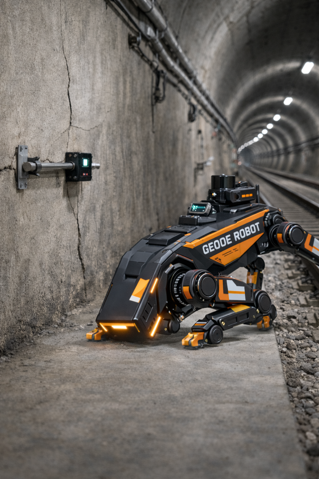
Thank you for visiting GEOOE. GEOOE is an IP-first technology origin company dedicated to advancing environmental & geotechnical engineering through practical, field-ready innovation. At the heart of our work is a Biomimetic Environmental Monitoring System, inspired by how natural sensing adapts to complex environments rather than relying on constant presence. This approach is enabled by DAX™ (Distributed Access eXecution), a GEOOE-originated framework that explores more flexible ways to access and utilize monitoring data in real-world field conditions. Innovation is driven through our Geoino platform, with data integration and long-term insight supported by GeoSmar. Together with our broader GEOOE+ ecosystem, we aim to complement existing monitoring practices by improving adaptability, efficiency, and scalability across tunnels, slopes, dams, foundations, infrastructure, land development, agriculture, and research projects worldwide.
Technical Scenarios
Structure
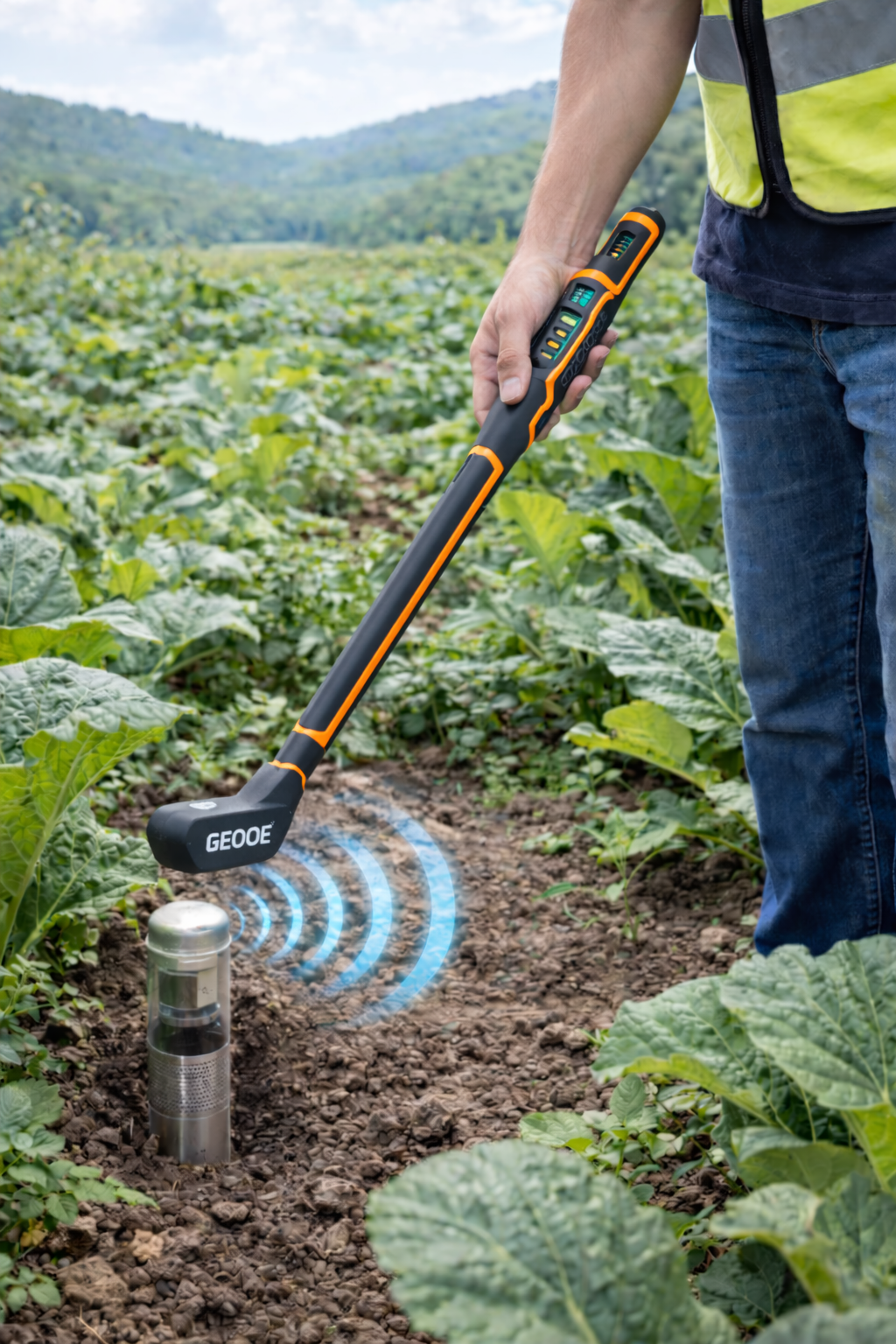
Agriculture
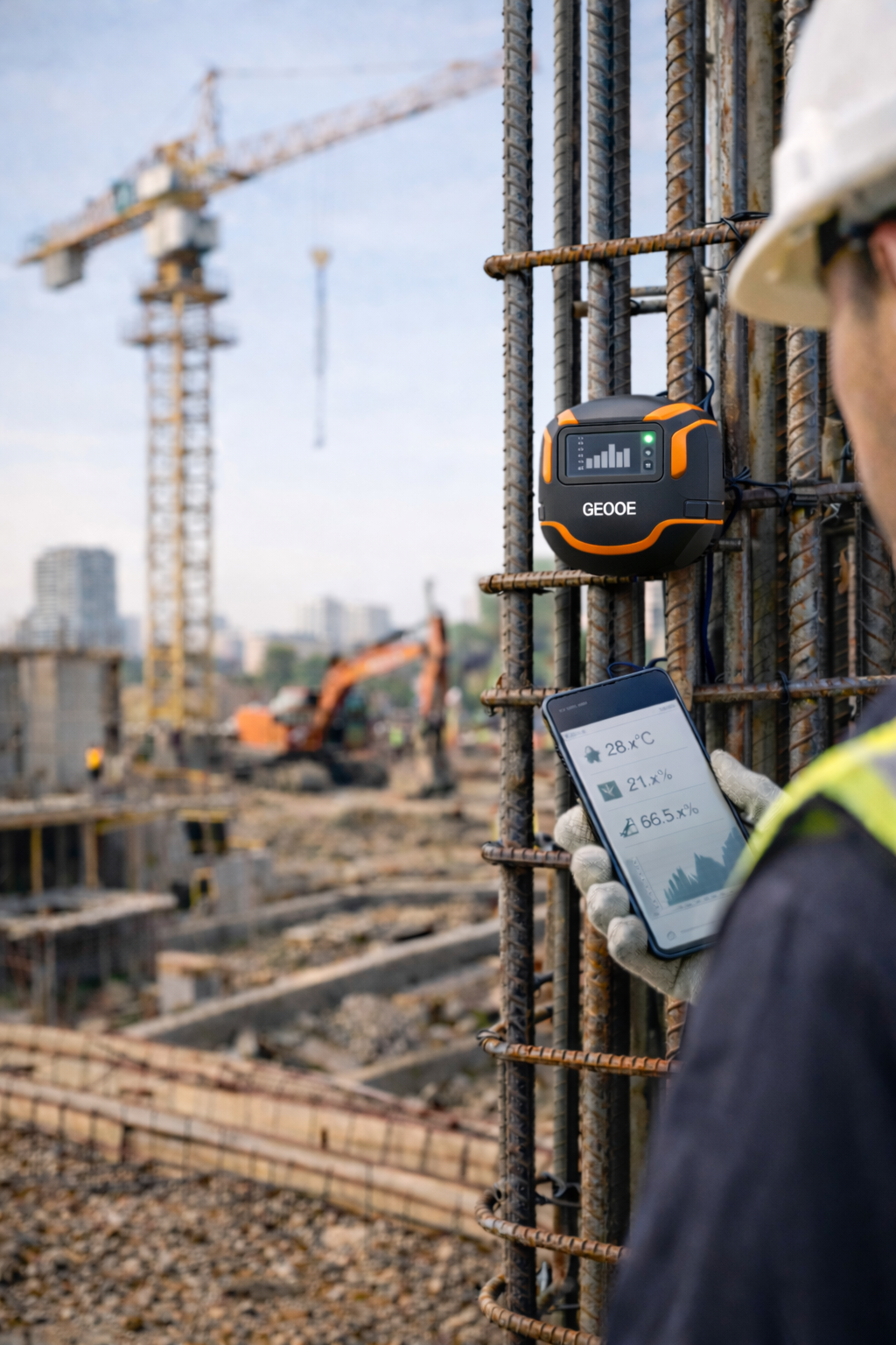
Construction
Environment
GEOOE Biomimetic Environmental & Geotechnical Monitoring System
GEOOE’s Biomimetic Environmental & Geotechnical Monitoring System is inspired by nature and designed for complex field environments. Developed through the Geoino innovation platform, the system is built around DAX™ (Distributed Access eXecution)—a GEOOE-originated framework for flexible, proximity-based data access. Monitoring data can be integrated with GeoSmar, GEOOE’s cloud platform for centralized observation, analysis, and long-term insight, supporting efficient and scalable monitoring workflows across engineering, environmental, and agricultural applications.
What is DAX™?
DAX™ — A GEOOE-Originated Access Architecture
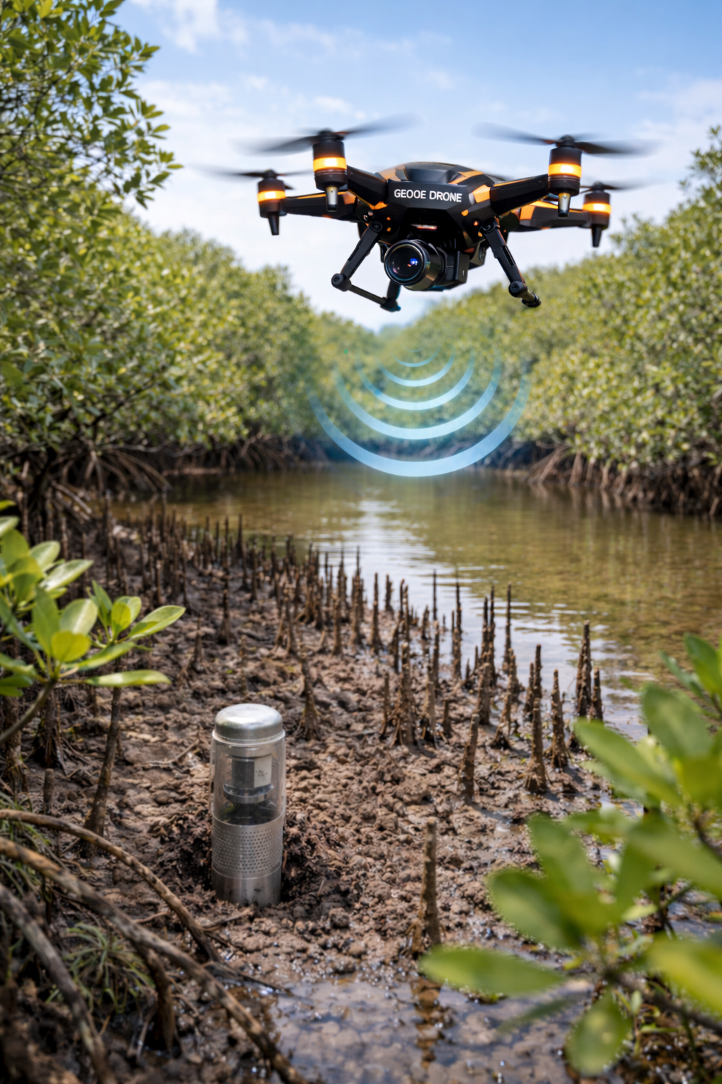
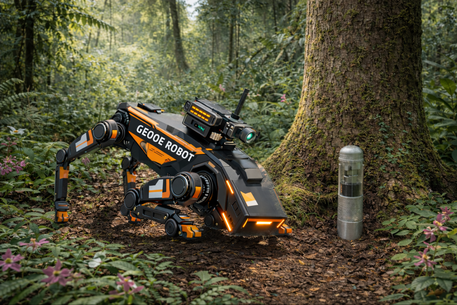
DAX (Distributed Access eXecution) is a GEOOE-originated architecture for mobile, proximity-based data access in dense monitoring deployments. Most monitoring does not require continuous real-time connectivity, yet traditional approaches force costly manual inspection or always-on systems.
DAX enables session-based, route-centric access to locally stored data without continuous power or communication. It complements real-time systems and reduces dependence on human inspection. DAX defines a new paradigm for scalable, low-cost monitoring.
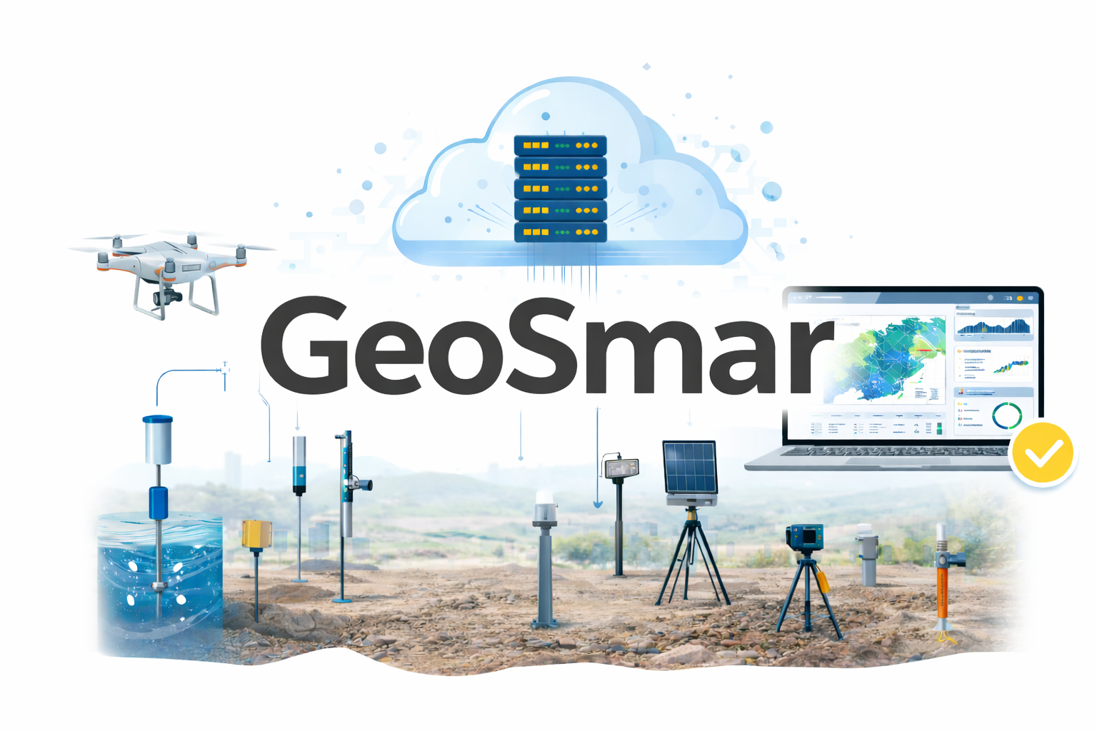
Cloud-based Geo-Processing & Engineering Intelligence Platform
GeoSmar is the cloud-based intelligence engine of GEOOE+ Ecosystem, unifying online geo-processing, automated reporting, and AI-supported analytics. Traditional geotechnical workflows suffer from fragmented data across instruments, spreadsheets, and manual interpretation. GeoSmar transforms raw field measurements into structured, traceable engineering outputs with automated analysis, cloud storage, and professional QC integration. Ideal for frequent monitoring, large sensor networks, and recurring reporting cycles, the platform frees engineers to focus on interpretation and decisions rather than data handling.
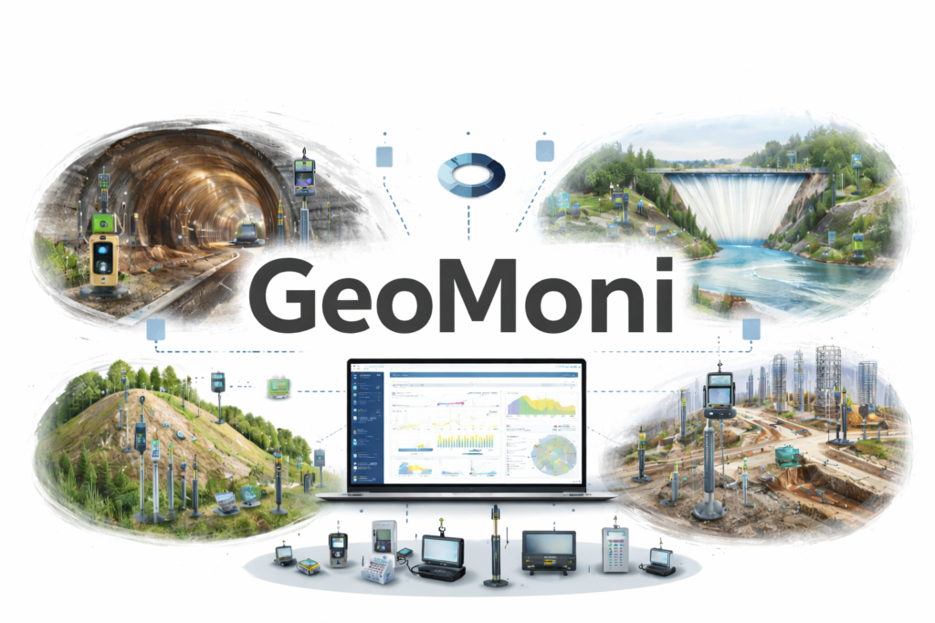
Instrumentation & Monitoring for Intelligent Geotechnical Decision-Making
Modern geotechnical projects demand unified, responsive, and data-driven monitoring. GEOOE+ Ecosystem delivers this through GeoMoni, a fully integrated platform for the supply, installation, and operation of high-precision instrumentation.
Seamlessly connected to GeoSmar for IoT acquisition, cloud analytics, and AI-enhanced insights, GeoMoni transforms field measurements into reliable, real-time information.
From tunneling and slope stability to foundations, dams, and underground works, GeoMoni supports complex environments where continuous trends, regulatory reporting, and multi-sensor coordination are critical. By merging advanced instrumentation workflows with intelligent data processing, GeoMoni enables engineers to move confidently from raw data to informed decisions, reducing risk across the entire project lifecycle.
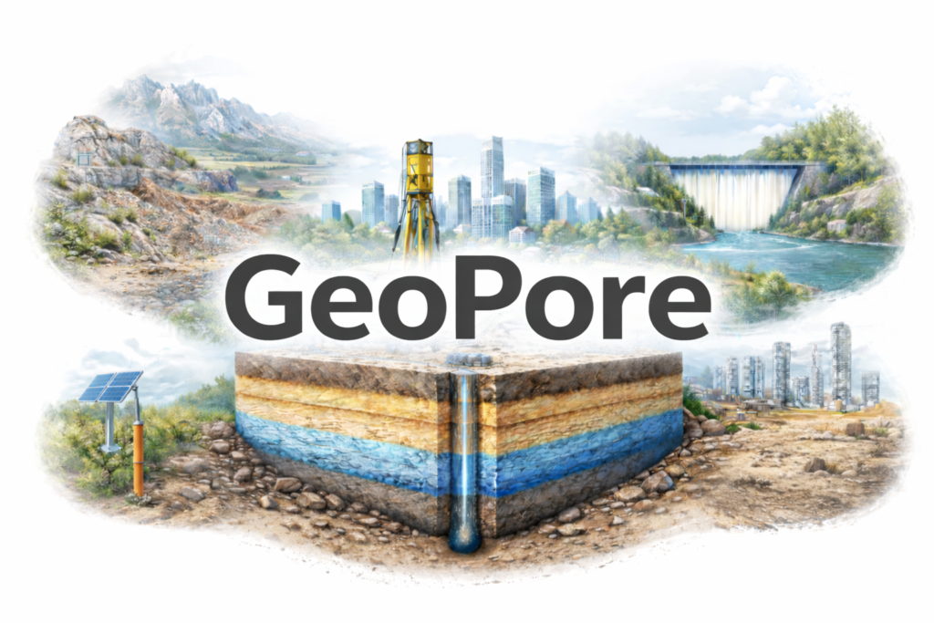
Integrated Soil Investigation & Ground Characterization Services
GeoPore, part of the GEOOE+ Ecosystem, delivers integrated soil investigation and ground characterization services by bringing together borehole drilling, in-situ testing, laboratory analysis, groundwater assessment, and geological interpretation into a unified workflow. Rather than treating site investigation as isolated reports, GeoPore emphasizes coherent subsurface understanding to support engineering decision-making. Closely aligned with GeoSmar for data organization and GeoMoni for downstream monitoring and design coordination, GeoPore supports foundation design, earthworks planning, slope stability evaluation, and infrastructure development across urban, industrial, and natural environments.
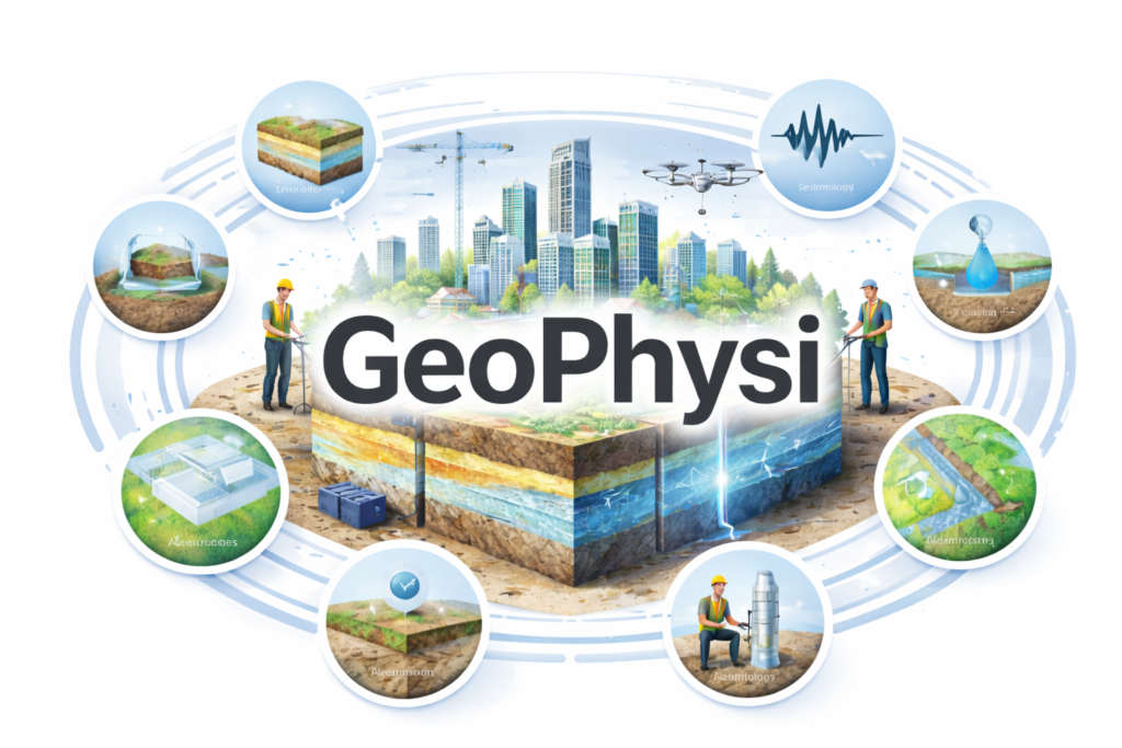
Integrated Geophysical Intelligence & Subsurface Insight
GeoPhysi, part of the GEOOE+ Ecosystem, focuses on delivering integrated geophysical intelligence for complex subsurface conditions. It consolidates traditionally separate geophysical survey activities—such as electrical resistivity, seismic methods, electromagnetic surveys, microtremor analysis, and hydrogeophysical investigations—into a unified interpretation framework. By combining field data with geological context and digital mapping, GeoPhysi provides a coherent understanding of subsurface structures and anomalies. Working in coordination with GeoSmar for cloud-based data handling and GeoMoni for monitoring-related interpretation, GeoPhysi supports infrastructure planning, hazard evaluation, and subsurface characterization across tunnels, slopes, foundations, dams, and large-scale development projects.
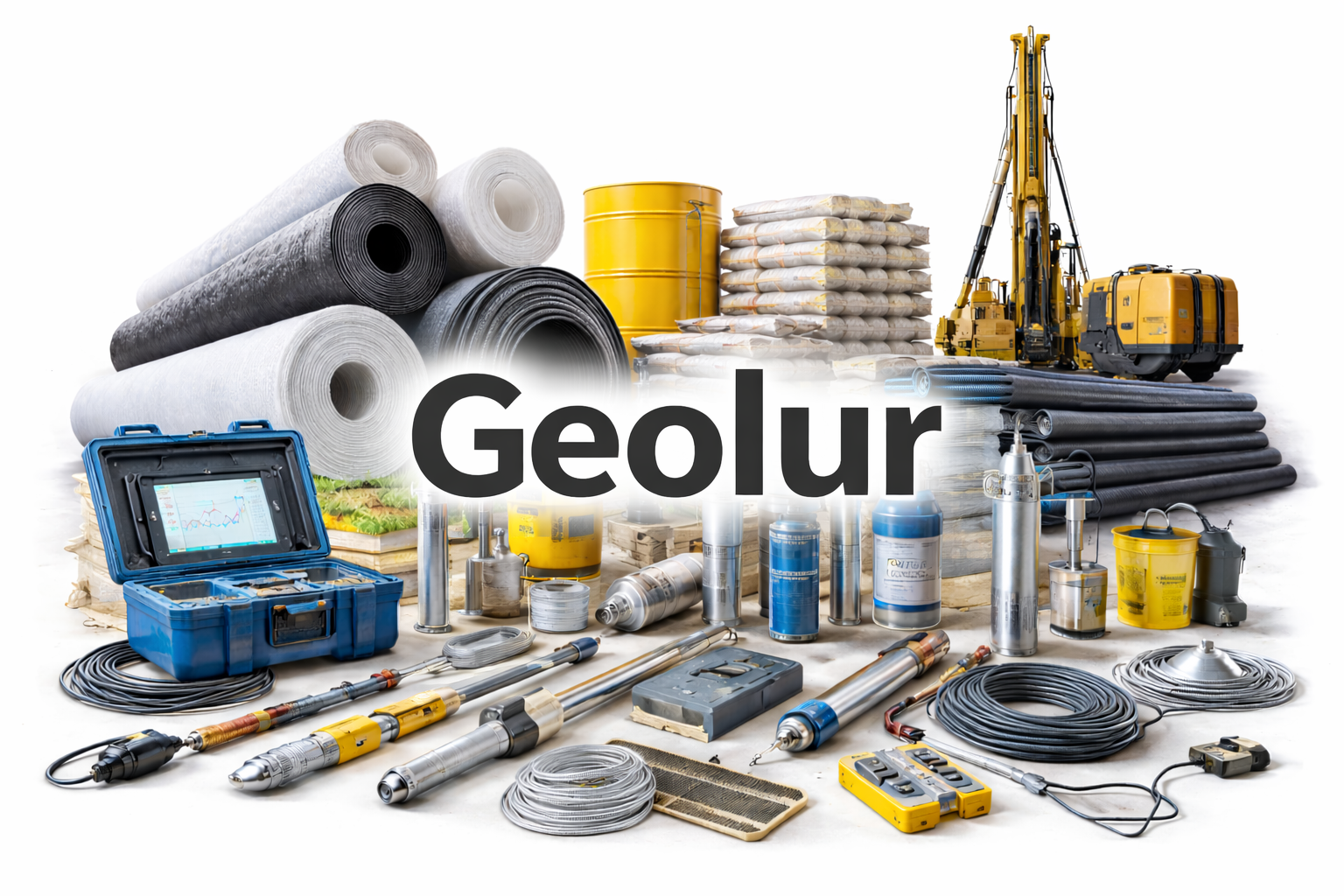
Engineering-Grade Supply Chains for Geotechnical Performance
In geotechnical and civil engineering, fragmented sourcing and inconsistent product quality often disrupt site workflows and compromise data reliability.
Geolur, part of the GEOOE+ Ecosystem, delivers an integrated supply chain for drilling, soil investigation, and monitoring works. Our portfolio covers instruments such as piezometers, inclinometers, settlement plates, tiltmeters, extensometers, and data loggers, as well as construction materials including grouting compounds, geotextiles, and drainage systems. Each product is curated for compatibility, durability, and real-world performance—ensuring seamless alignment with GeoMoni monitoring workflows, GeoPhysi investigation processes, and the innovation standards established by Geoino hardware development. From field mobilization to long-term monitoring, GeoLur supports engineers with dependable, technically aligned, and project-ready solutions.